sandy
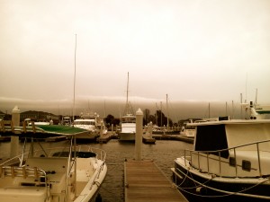
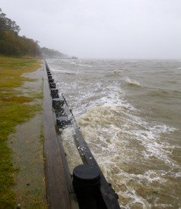
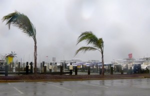
 Winds have remained steady at 30 knots overnight, but are beginning to pick up now. A gust of 50 MPH was just recorded at the Kent Narrows bridge. The Bay Bridge remains open, but I just saw a tweet that it will close at 1:00 PM. Storm tracks are narrowing some, but there is still some question as to whether the eye of the Hurricane will pass north or directly over us here on Kent Island. Considering the size of this storm, I’m not sure it really matters. Our biggest issue right now is standing water. The ground is saturated and it’s sure to keep raining for a couple of days. I haven’t heard of any power outages yet on the Island. Here’s some shots of Matapeake and Kent Narrows. Stay safe.
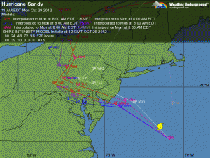
 Last year I entertained myself during Hurricane Irene by blogging about the storm, so I thought I’d do it again with Sandy. While some storm tracks have Kent Island directly in the path of the storm, it looks more likely that it will come ashore about 60 miles north of us. That’s too close for comfort with a storm this big. As of 3:00 PM Sunday, we are just starting to see the first bands of the hurricane. It’s raining lightly and winds are from the northeast sustained at 29 knots at Thomas Point Light on the Chesapeake Bay. If the storm stays north as projected, I don’t expect a strong storm surge. Tides were pretty high last night, but the northeast wind will actually push water out of the Bay. We might even seen record low water, so I’m standing by with my relic hunting gear just in case some of the colonial sites and shipwrecks are exposed. Our biggest concern is trees and limbs coming down and flooding from the expected heavy rains. Since this is a fishing site, I’ll also report that fishing was not particularly good yesterday although we did catch a few on topwater in the Eastern Bay shallows. Stay tuned and I’ll do my best to keep you in the loop about the storm.


